- Home
- Live Blog
- Breaking News
- Top Headlines
- Cities
- NE News
- Sentinel Media
- Sports
- Education
- Jobs

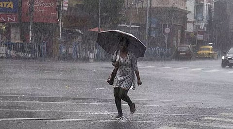
NEW DELHI: Fairly widespread to widespread rainfall, accompanied with thunderstorms/lightning, is very likely over sub-Himalayan West Bengal and all Northeastern States during the next five days, the India Meteorological Department (IMD) has predicted.
This would happen under the influence of strong southwesterly winds from Bay of Bengal to the Northeastern States at lower tropospheric levels during April 13-15 and a cyclonic circulation with trough aloft over west Assam and neighbourhood at lower tropospheric levels, the IMD said. Meanwhile, several places recorded heavy rainfall of more than 7 cm for the 24 hours ending at 8.30 am on Monday. It included Bokajan (10 cm), Bokakhat (9 cm) and Dholan (7 cm) (all in Assam and Meghalaya sub-division), while Wokha in Nagaland received 7 cm.
The forecast for Tuesday said that Arunachal Pradesh would receive light to moderate rainfall at many places while in Assam and Meghalaya, there would be light to moderate rainfall at many places with isolated heavy rainfall along with thunderstorm/lightning at isolated places with gusty winds (30-40 kmph). In Nagaland, Manipur, Mizoram and Tripura sub-divisions, there would be light to moderate rainfall at few places along with thunderstorm/lightning at isolated places with gusty winds (30-40 kmph). (IANS)
Also Read: Wet spell likely to continue in Northeast
Also Watch: Assam, Meghalaya Sign Agreement To Resolve Boundary Dispute