Source: Google
Assam Government To Launch Drones To Map 700 Villages
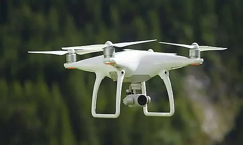
Guwahati: The Assam government has come up with a solution that will help to it demarcate borders with other states and has launched a new project in which 700 villages of the state will be mapped with the help of drones.
It is to be noted that out of the 22,724 villages in Assam, 700 villages has not been mapped as of now. This has led to many problems in executing government projects and purchasing land in those regions.
The Survey of India is providing its assistance to the Assam government in this project which has begun this week at No 1 Singimari Village that falls under the Hajo revenue circle in Lower Assam.
According to government sources, the drones will demarcate the borders of frontier villages after the neighbouring states settle border issues with Assam.
Pankaj Tiwari, the principal of Assam Survey & Settlement Training Centre said, "Once the pilot project in Singimari is over, there will be a massive mapping exercise in Dibrugarh and Tinsukia where the target is to map about 600 revenue villages."
The villages of Dibrugarh and Tinsukia with a high population of ethnic tribes are yet to be mapped. Tiwari added, " Without maps, boundaries are incomplete."
A government source informed, "Though survey pillars are lacking in many inter-district, inter-state and international borders in Assam, the plan in the future is to erect these crucial demarcation pillars with a scientific drone survey. But a lot depends on the goodwill of bordering states."
The Survey of India has handed over the drones for exercise. However, the Kamrup administration and Assam survey are doing the rest of work.
Speaking to national media, Kamrup DC Kailash Karthik N informed that Singimari is the first village whose mapping work has been undertaken in the project under Mission Vasundhara.
Also Watch:

